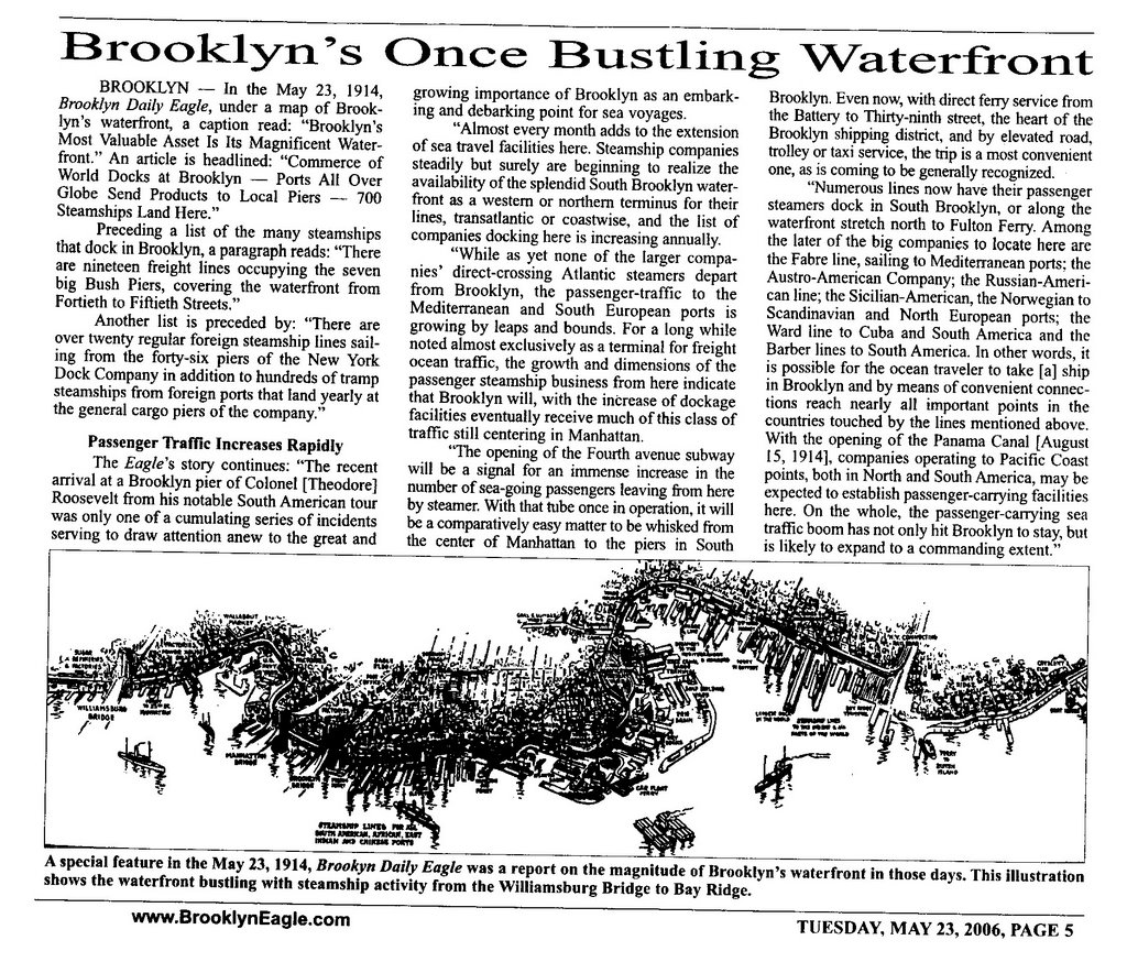
 Courtesy of the Brooklyn Daily Eagle comes this sweet map and discussion of the Brooklyn waterfront circa 1914. Brooklyn was a huge hub for ocean travel at the turn of the century. It was first used mostly as a port for freight, but its passenger traffic grew quickly. The map "shows the waterfront bustling with steamship activity from the Williamsburg Bridge to Bay Ridge." At the time of the original article, the writer looked forward with anticipation to how the building of the 4th Avenue subway would help transport passengers from ships to Manhattan.
Friday, August 25, 2006
Brooklyn's Once Bustling Waterfront
Courtesy of the Brooklyn Daily Eagle comes this sweet map and discussion of the Brooklyn waterfront circa 1914. Brooklyn was a huge hub for ocean travel at the turn of the century. It was first used mostly as a port for freight, but its passenger traffic grew quickly. The map "shows the waterfront bustling with steamship activity from the Williamsburg Bridge to Bay Ridge." At the time of the original article, the writer looked forward with anticipation to how the building of the 4th Avenue subway would help transport passengers from ships to Manhattan.
Subscribe to:
Post Comments (Atom)
1 comment:
thanks for this tip...
gonna be a LOT of changes around here. at the "master plan" meeting the other night in Greenpoint, there was talk of "floating movie theatres" and floating pools...good grief!
Post a Comment