
 The Morning News is running a contest inviting you to submit photos of actual campaign signs for fictional candidates. Got that? Real signs, fake candidates. Deadline is this Friday, November 3rd, at midnight. Start painting those placards.
The Morning News is running a contest inviting you to submit photos of actual campaign signs for fictional candidates. Got that? Real signs, fake candidates. Deadline is this Friday, November 3rd, at midnight. Start painting those placards.
The Morning News is running a contest inviting you to submit photos of actual campaign signs for fictional candidates. Got that? Real signs, fake candidates. Deadline is this Friday, November 3rd, at midnight. Start painting those placards.
 In 2003 there were 15 million refugees and internally displaced persons internationally. The highest numbers came from (1) Serbia and Bosnia, (2) Iraq, Afghanistan and Azerbaijan.
 It's an age-old story. Brooklyn transplant falls in love with his new borough and sets about photographing it voraciously, aware that what he sees through his lens is changing every day and might soon fall victim to the relentless pressures of urbanization and modernization. 2006? No, 1906.
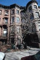 Five buildings in Prospect Heights and Park Slope face eviction based on their landlord's claim that he plans to wholly demolish or do a gut rehab of their building. The landlord, Frank Farricker, is currently running for Connecticut State Senate on an affordable housing platform.
 Ever tried to cross from the Central Library at Grand Army Plaza to the farmer's market? Then you know that the timing of the lights will leave you stranded on a tiny traffic island as traffic whizzes by you in both directions. Streets Blog reported today that the Department of Transportation has corrected the timing of the lights, after repeatedly insisting that to do that would have a disruptive ripple effect on neighborhood traffic. DOT is also planning to implement other pedestrian-friendly changes at Grand Army Plaza over roughly the next year. Check out Streets Blog for the full report.
 After traipsing through the Bloomingdale's perfume floor - we definitely needed something special to cover up that funky grave smell - we hit the subway to head to Times Square.
 There's nothing more classic than a subway car full of New Yorkers, who, when zombies crowd into the car, look up briefly from their newspaper, make a snarky comment or two, and go right back to their reading. Does nothing phase you? Nothing?
 FAO Schwartz management was not exactly thrilled to see us. Neither was Red Lobster - despite bringing our own bibs and politely asking the maitre de for a "table for 95, please," they kicked us out too. Passers-by were very sympathetic about the zombie discrimination.
 Next - zombies gotta eat. Ordering from a waitress who's seen it all at the Times Square Pub.
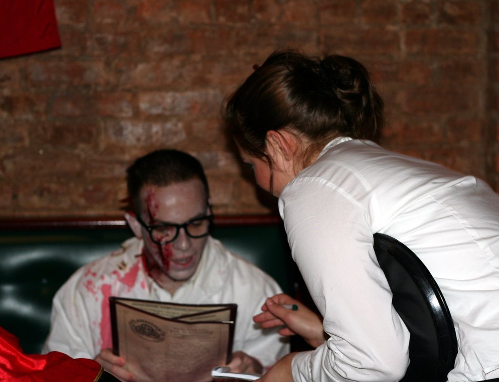 Revitalized, we hit the street again. Next up: Union Square and a few more bars. Somewhat surprisingly, the tourists were way more playful and into the whole thing than the downtown New Yorkers.
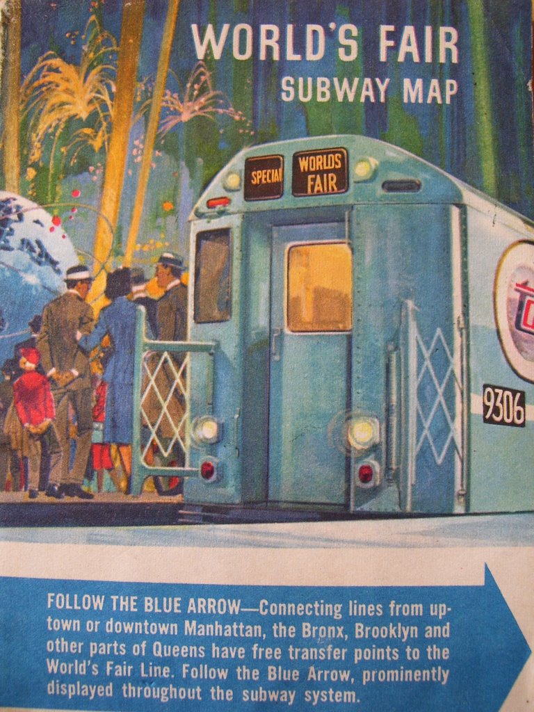
 Map courtesy of Ryn
 Graffiti artist Neckface has teamed up with Vans to put out a series of skate shoes emblazoned with his designs. After being based out of NYC for a number of years, Neckface has moved back to his native California. You can still see his prickly arms stretching across NYC walls and rooftops - a great view of a big one is from the F train as it goes above ground at Smith/9th. My personal favorites are his stickers (below), which show his irreverent and self-deprecating sense of humor.
Found in the men's room at Bonnie's Grill on Park Slope's hipper strip, 5th Ave. The snarky reply to "die Brooklyn yuppies" says "before or after brunch?"
 inside, graffiti on the concrete walls
 jury-rigged fencing
 "Do not pick up / girls in this / area thay got / aids"


